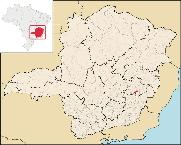
Файл:MinasGerais Municip CorregoNovo.svg

747 × 599 нокта - SVG файлын беренчел карау размеры PNG. Башка ачыклык: 299 × 240 нокта | 598 × 480 нокта | 957 × 768 нокта | 1276 × 1024 нокта | 2552 × 2048 нокта | 2147 × 1723 нокта.
Төп файл (SVG файлы, шартлы 2147 × 1723 нокта, файлның зурлыгы: 2,9 Мб)
Файл тарихы
Файлның нинди булганлыгын күрү өчен «дата/вакыт» дигәненә басыгыз.
| Дата/вакыт | Кече рәсем | Үлчәмнәре | Кулланучы | Искәрмә | |
|---|---|---|---|---|---|
| агымдагы | 29 июн 2020, 18:22 |  | 2147 × 1723 (2,9 Мб) | Apollo BR | Feel free to create derivations of this work, but if you want to illustrate a Wikipedia article with derivative works of this or similar maps of Brazil, please strictly follow the visual standard, nomenclature and classification already in use. All maps of Brazilian subdivisions are being adaptated or created in this way. We do not want to inhibit creativity but the pattern adopted here was presented and accepted by the Lusophone community and should be followed whenever possible. |
| 31 дек 2018, 17:55 |  | 914 × 709 (2,43 Мб) | HVL | Removing regional division extinguished | |
| 28 авг 2006, 04:53 |  | 914 × 709 (1,91 Мб) | Raphael.lorenzeto | {{Information| |Description=Map locator of a city in Minas Gerais (this description will be changed) |Source=Image:MinasGerais MesoMicroMunicip.svg, own work |Date=August 28, 2006 |Author=Raphael Lorenzeto de Abreu |Permission={{self2|GFDL|cc-by-2.5} |
Файлны куллану
Әлеге файл киләсе битне куллана:
Файлның гомуми кулланышы
Әлеге файл аста бирелгән викиларда куллана:
- ar.wikipedia.org проектында куллану
- bpy.wikipedia.org проектында куллану
- eo.wikipedia.org проектында куллану
- eu.wikipedia.org проектында куллану
- it.wikipedia.org проектында куллану
- nl.wikipedia.org проектында куллану
- no.wikipedia.org проектында куллану
- pt.wikipedia.org проектында куллану
- ro.wikipedia.org проектында куллану
- vi.wikipedia.org проектында куллану
- www.wikidata.org проектында куллану
- zh-min-nan.wikipedia.org проектында куллану
- zh.wikipedia.org проектында куллану
