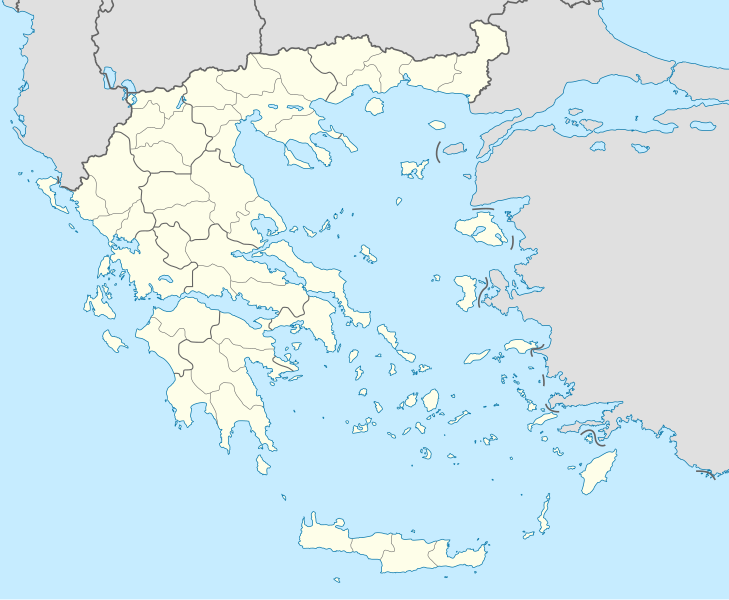
Файл:Greece location map.svg

729 × 600 нокта - SVG файлын беренчел карау размеры PNG. Башка ачыклык: 292 × 240 нокта | 584 × 480 нокта | 934 × 768 нокта | 1245 × 1024 нокта | 2490 × 2048 нокта | 1003 × 825 нокта.
Төп файл (SVG файлы, шартлы 1003 × 825 нокта, файлның зурлыгы: 833 Кб)
Файл тарихы
Файлның нинди булганлыгын күрү өчен «дата/вакыт» дигәненә басыгыз.
| Дата/вакыт | Кече рәсем | Үлчәмнәре | Кулланучы | Искәрмә | |
|---|---|---|---|---|---|
| агымдагы | 10 дек 2015, 01:13 |  | 1003 × 825 (833 Кб) | SilentResident | Reverted to version as of 16:28, 11 September 2008 (UTC) The Prefectures became Regional Administrative Units with the same borders |
| 18 дек 2010, 22:33 |  | 1003 × 825 (673 Кб) | Pitichinaccio | Prefecture borders removed. The prefectures of Greece were suppressed in 2010. Präfekturgrenzen entfernt. Die griechischen Präfekturen wurde 2010 abgeschafft. | |
| 11 сен 2008, 16:28 |  | 1003 × 825 (833 Кб) | Lencer | {{Information |Description= |Source= |Date= |Author= |Permission= |other_versions= }} | |
| 16 авг 2008, 12:13 |  | 1003 × 825 (818 Кб) | Lencer | {{Information |Description= |Source= |Date= |Author= |Permission= |other_versions= }} | |
| 23 июл 2008, 18:26 |  | 869 × 715 (823 Кб) | Lencer | {{Information |Description= |Source= |Date= |Author= |Permission= |other_versions= }} | |
| 23 июл 2008, 18:11 |  | 869 × 715 (823 Кб) | Lencer | {{Information |Description= {{de|Positionskarte von Griechenland}} Quadratische Plattkarte, N-S-Streckung 120 %. Geographische Begrenzung der Karte: * N: 42.0° N * S: 34.6° N * W: 19.1° O * O: 29.9° O {{en|Location map of |
Файлны куллану
Әлеге файл киләсе битне куллана:
Файлның гомуми кулланышы
Әлеге файл аста бирелгән викиларда куллана:
- af.wikipedia.org проектында куллану
- als.wikipedia.org проектында куллану
- am.wikipedia.org проектында куллану
- an.wikipedia.org проектында куллану
Бу файлның гомуми кулланышын карау.


